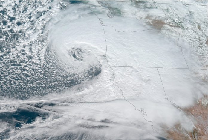
A storm strengthening in the northern Pacific could become one of the strongest ever in the region and already ranks as the strongest on record in Alaska. One model shows the storm’s pressure has dropped enough to qualify it as a “bomb cyclone”; lower pressure usually makes for a stronger storm, the Washington Post reports. It was producing winds of 110mph as of Thursday morning, the National Weather Service said. Rick Thoman, a climate scientist at the University of Alaska at Fairbanks says the storm, which is currently battering the western Aleutian Island chain, already qualifies as Alaska’s strongest on record, and the pressure is still falling.
Waves could top 50 feet, the National Weather Service Ocean Prediction Center tweeted; they’re already at 45 feet in open water. Shemya Island recorded gusts of 83mph. California and the Pacific Northwest are likely to feel the effects, brought by the jet stream, in the next week. Four to eight inches of rain could fall along the coast from northern California to Washington state. High elevations could be in for more than a foot of snow. With the flow of Arctic air disrupted, the eastern US mainland will have mild weather next week


